Download
1 / 20
200 likes | 211 Vues
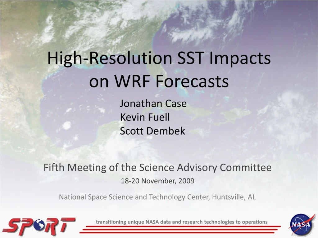
High-Resolution SST Impacts on WRF Forecasts. Jonathan Case Kevin Fuell Scott Dembek. Fifth Meeting of the Science Advisory Committee 18-20 November, 2009. National Space Science and Technology Center, Huntsville, AL. transitioning unique NASA data and research technologies to operations.

E N D
High-Resolution SST Impacts on WRF Forecasts Jonathan Case Kevin Fuell Scott Dembek Fifth Meeting of the Science Advisory Committee 18-20 November, 2009 National Space Science and Technology Center, Huntsville, AL transitioning unique NASA data and research technologies to operations
Relevance to NASA/SPoRT • MODIS SST composites • NASA Earth Observing System product • Technique developed by SPoRT • Used in operations by SPoRT NWS partners • Use in modeling • Provides superior resolution over current operational products • Fosters collaboration opportunities • Pathway to regional/national operational centers transitioning unique NASA data and research technologies to operations
Accomplishments Since 2007 SAC Meeting • 2007 SAC Recommendation: “Find broader use and dissemination of the MODIS SST composite product.” • Implemented option for using MODIS SSTs in the NWS/SOO WRF Environmental Modeling System (EMS), version 3 • Default option for SSTs in EMS v3 • Ran NSSL/WRF forecasts using MODIS SSTs • Model verification to compare against operational NSSL/WRF runs • Completed analysis of Miami 2007 modeling study • Coordinated effort between SPoRT and FIT • Results supported need for enhanced MODIS SST composite • Conference presentations (2007/09 NWA, 2008/09 AMS) transitioning unique NASA data and research technologies to operations
Subset of WRF EMS Users: SPoRT Query Other groups: Aviation Weather Center Spaceflight Meteorology Group transitioning unique NASA data and research technologies to operations
Approach and Methods • Miami, FL multi-month model sensitivity • 4-km WRF-NMM model within EMS (same configuration as NWS Miami) • RTG vs. MODIS initialization; FebAug 2007 • Model initializations at 03, 09, 15, 21z • Case studies and point verification statistics • NSSL/WRF multi-month parallel runs • May to Aug 2009 • Verification using MET currently underway • Additional real-time impact case studies • SPoRT partners currently using MODIS SSTs in WRF EMS NWS MIA Domain transitioning unique NASA data and research technologies to operations
SST Incorporation Method • Miami, FL multi-month model sensitivity • Simulated a possible real-time configuration • Each model initialization incorporated newest MODIS composite that would be available in real time • 03z 19z MODIS from previous day • 09z 04z MODIS • 15z 07z MODIS • 21z 16z MODIS • NSSL/WRF parallel runs • One per day runs initialized at 00z • Initialized with 19z MODIS composite transitioning unique NASA data and research technologies to operations
Miami, FL Point Verification Summary • Little difference in point verification • Model runs using daytime MODIS: similar errors as RTG • Model runs using nocturnal MODIS • Slight cold biases, esp. in summer months • Latency issues during convective regimes • Initialization and diurnal variations in SSTs • Diurnal variations in SSTs not taken into account • Recommended methods • Use SST composite that matches model initialization time • E.G. 15z model initialization uses yesterday’s 16z MODIS composite • Develop time-varying MODIS SST boundary conditions • Consider WRF SST update or diurnal SST prediction options transitioning unique NASA data and research technologies to operations
Sample Miami, FL Point Verification Results Slight cold bias due to cooler nocturnal SSTs and higher latencyin 07z composites 03z, Feb-Aug 2007 15z, Feb-Aug 2007 transitioning unique NASA data and research technologies to operations
Miami, FL Case Study: 24 March 2007(NE Flow Surge Case) Enhanced cold to warm SST gradient (in easterly flow) MODIS – Control Sea Surface Temperature [°C] 24 Mar 2007 0900 UTC Simulation transitioning unique NASA data and research technologies to operations
Miami, FL Case Study: 24 March 2007(14-h Forecast Cloud Water Enhancement) • Cloud liquid water content (g/kg) enhanced over southeastern Florida • Downstream of the convection originating near Grand Bahama Island • Crosses the warmer MODIS Gulf Stream transitioning unique NASA data and research technologies to operations
Miami, FL Case Study: 24 March 2007(14-h Forecast Divergence Impact) • Under easterly flow, near-surface winds cross from cooler to warmer SSTs in the MODIS run • Winds accelerate and result in enhanced surface divergence • Consistent with LaCasse et al. 2008 findings transitioning unique NASA data and research technologies to operations
Miami, FL Study: MODIS Latency Issue • Large latency during JuneJuly 2007 • Florida convective season • Persistent cloud cover during composite times • Led to increased cold bias in model, particularly with nocturnal MODIS composites • Enhanced MODIS SST composites • Superior SST verification around Florida • Improved cold bias on sample June 2007 case transitioning unique NASA data and research technologies to operations
Mobile, AL Case Study: T.S. Claudette(17 August 2009) • NWS Mobile, AL posted WRF results to SPoRT blog • WRF EMS version 3 using default MODIS SST option • Depicted small meso-low in vicinity of T.S. Claudette, further east where low actually made landfall • Surmised that MODIS SSTs helped produce this improvement over the large-scale models • SPoRT re-ran WRF EMSwith RTG vs. MODIS SSTs • GFS Initial & BCs • Same domain as NWS Mobile transitioning unique NASA data and research technologies to operations
Mobile, AL Case Study: T.S. Claudette(WRF Initial Condition) • Low slightly too far south-west compared to actual location transitioning unique NASA data and research technologies to operations
Mobile, AL Case Study: T.S. Claudette(SST Differences) • Warmer SSTs offshore of western Florida; cooler near-shore transitioning unique NASA data and research technologies to operations
Mobile, AL Case Study: T.S. Claudette(6-h PMSL and 10-m Wind Differences) • Cyclonic flow and PMSL couplet develop along SST gradient transitioning unique NASA data and research technologies to operations
Mobile, AL Ida Simulation w/ MODIS SSTs(9 to 27 hour Forecast PMSL and 10-m Winds) • SOO Comments (Medlin) • Forecast very close on track and intensity • Weakening intensity toward landfall • Horizontal scale very similar to observed • Precluded tornado threat due to very stable air on northern periphery(not shown) transitioning unique NASA data and research technologies to operations
Hurricane Ike WRF Intensity Forecast(Courtesy: Dr. Craig Mattocks, UNC) transitioning unique NASA data and research technologies to operations
Summary and Conclusions • Collaboration with local NWS modeling applications • Incorporated MODIS option into WRF EMS v3 • Enabled NWS offices to use MODIS SSTs in their local model runs • Impacts on point verification / precipitation typically subtle • Modulation of wind fields near SST gradients • Increased convergence downstream of Bahamas • Enhancement of cyclonic flow in vicinity of tropical storm • Miami multi-month study revealed latency issue • Most prevalent during convective season • Improved with enhanced MODIS composites transitioning unique NASA data and research technologies to operations
Future Work • Provide EMS v3 background material to SPoRT partners • Beneficial to new users of MODIS SSTs in WRF EMS modeling • Assisting SERVIR in implementing WRF EMS v3 w/ MODIS SSTs • Complete verification of NSSL/WRF with MODIS SSTs • NSSL/SPC assessment of MODIS SST impacts on NSSL/WRF • Re-run selected high latency cases with enhanced MODIS • Experiment with new diurnal SST prognostic scheme • Zeng and Beljaars (2005, GRL); available in WRF v3.1 • Pathway to regional/national operational centers • NSSL, AOML, NHC, NCEP transitioning unique NASA data and research technologies to operations