Weather Maps
Weather Maps. Adapted from NOAA and www.metoffice.gov.uk/ by Ms. Shaw. Weather maps can graphically show either one feature, or multiple features of the weather. Isolines connect points of equal conditions on weather maps. Names of Isolines. Note the root words:

Weather Maps
E N D
Presentation Transcript
Weather Maps Adapted from NOAA and www.metoffice.gov.uk/ by Ms. Shaw
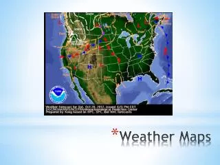
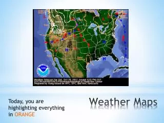
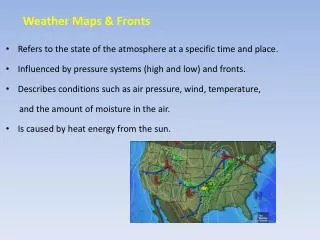
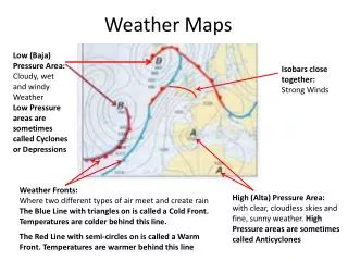
Weather maps can graphically show either one feature, or multiple features of the weather. • Isolinesconnect points of equal conditions on weather maps.
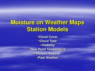
Names of Isolines Note the root words: • “therm” = temperature • “bar” = pressure • “tach” = often associated with words relating to the measurement of speed.
Isotherms - lines of equal temperature, and can show the locations of weather fronts. Isobars- lines of equal average pressure, and closed lines indicate the location of high- and low-pressure areas. Isotachs- lines of equal wind speed, and high speeds can be used to locate jet streams.
Practice this fronts review (you may need to create a free account to do so) http://app.discoveryeducation.com/player/view/assetGuid/57ca794f-cb09-404f-b5b3-4cab432ba46e • Answer questions 1-4 (see tab at the bottom of the simulation)