Download
1 / 6
60 likes | 224 Vues
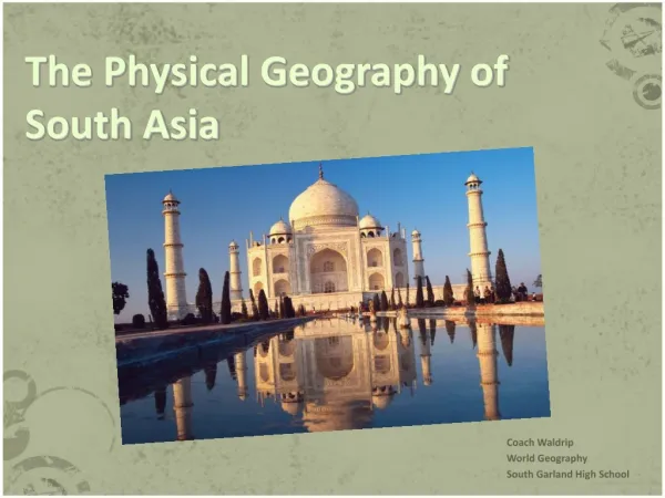
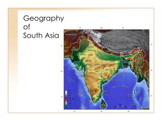
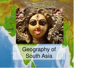
The Geography of South Asia. Mr. Lovejoy & Mrs. Lott- jones. Northern Mountains. Separate South Asia from the Rest of Asia making it a “subcontinent.” Melting snow from the Himalayas provides water for the rivers of the sub-continent

E N D
The Geography of South Asia Mr. Lovejoy & Mrs. Lott-jones
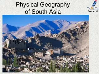
Northern Mountains Separate South Asia from the Rest of Asia making it a “subcontinent.” Melting snow from the Himalayas provides water for the rivers of the sub-continent Kashmir valley is an area where goats produce fine wool (Cashmere) Mountain passes have allowed for movement in and out of South Asia Khyber Pass is located in the Hindu Kush Mountain Range (Northwest South Asia); used for thousands of years for trade and invasions
Northern Plains (Indo-Gangetic) Fertile soil in this area from the steady source of water (3 main rivers) Ganges, Brahmaputra and Indus India get its name from the Indus River Most holy river in South Asia is the Ganges Densely populated because of the fertile soil Thar Desert is located to the west of the plains
Deccan Plateau High flat land, covers nearly ½ of South Asia Bordered by Vindyha Mountains to the North The Ghats rim the Deccan Plateau to the East and West; Eastern Ghats Near Bay of Bengal – Western Ghats near Arabian Sea Triangular shaped Hard to gain access to water here, which is why they dig wells
Monsoons Seasonal winds that dominate the climate of South Asia 2 types: Wet and Dry Monsoons Wet Monsoons (Summer): arrive in late May and Early June bringing much needed rain Dry Monsoons (Winter): arrive in October Monsoons determine when farmers will plant crops If the rainfall is too heavy it may cause flooding leading to a loss of crops, increase in disease and deaths
Resources Utilize irrigation to provide water to those areas that don’t have access; build wells and irrigation trenches South Asia has mineral resources, specifically iron ore and copper Lacks access to oil, which is why the government supports nuclear power Coal is plentiful in the Northern Plains