Download
1 / 5
50 likes | 232 Vues
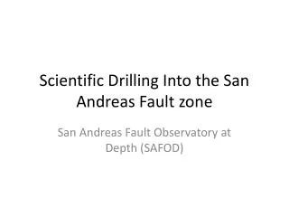
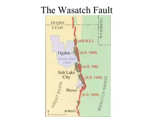
Haiyan Fu Dina Freedman 8.30.11. Seismotectonics of the Wasatch Fault Zone. The Wasatch Fault. The Wasatch Fault is a normal active fault Transition between from the Basin and Range province to the Colorado Plateau Visible below the highest shoreline of Lake Bonneville.

E N D
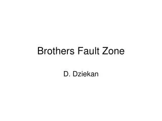
Haiyan Fu Dina Freedman 8.30.11 Seismotectonics of the Wasatch Fault Zone
The Wasatch Fault • The Wasatch Fault is a normal active fault • Transition between from the Basin and Range province to the Colorado Plateau • Visible below the highest shoreline of Lake Bonneville Figure 1: The Wasatch Fault visible near American Fork Canyon (UGS)
Earthquakes and Utah • The Wasatch Fault is “Aseismic” • Probability of an earthquake M>7.5 is 25% during the next century Figure 2: The past 6000 years show 19 surface-faulting earthquakes (UGS, 1996)
Earthquakes in Utah are common Last major quake on the SL segment was 1200 YA On the Wasatch Fault, an earthquake in Herriman in 1992 was a magnitude 4.3 The time between earthquakes or “clock” is unknown Earthquakes Figure 3: Earthquakes in Utah (Chang and Smith, 2002)
Flooding Consequences • Chang and Smith (1998) - flooding from the GSL would likely occur with a normal fault earthquake • It could displace the lakeshore southward up to 3.5 miles • Not only flood danger exists but soil liquefaction extending 100 miles from the center of a M 7.5 quake (USGS, 1996) Figure 5: Effects of a 2 meter slip and a lake level rise to 4212’ in SLC on flooding. Adapted from Chang and Smith, 1998.