Canadian Geography
110 likes | 499 Vues
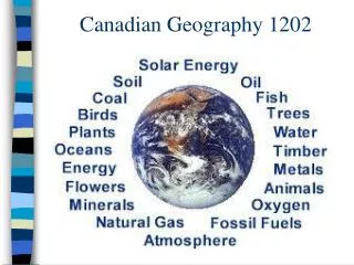
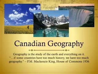
Canadian Geography . Geography is the study of the earth and everything on it. “…if some countries have too much history, we have too much geography.” – P.M. Mackenzie King, House of Commons 1936. 5 Themes of Geography.

Canadian Geography
E N D
Presentation Transcript
Canadian Geography Geography is the study of the earth and everything on it. “…if some countries have too much history, we have too much geography.” – P.M. Mackenzie King, House of Commons 1936
5 Themes of Geography The 5 Themes of Geography originated by the National Geographic Society to fulfill a need for geographers to categorize everything they learn. Location - “where are we?” Place – “How does the landscape affect us?” Regions – “How can we describe this area?” Movement – “How are ideas exchanged?” Interactions – “How have we changed the land?”
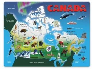
Location – Absolute and Relative • “Where are we?” • Absolute location– very precise location on globe • Latitude – distance of any point north or south of the equator, measured up to 90 degrees • Longitude – distance of any point east or west of the Prime Meridian, measured up to 180 degrees • Kelowna, B.C. located 49 degrees North (latitude) and 119 degrees west (longitude) • Relative locations - described by time, direction in relation to other places • Kelowna is app. 400km east of Vancouver, 600km west of Calgary, 110km north of U.S. border and 1100km south of Yukon border
Place – Physical and Cultural Characteristics • How do the physical characteristics of a place affect how people live? • Example: Prince Rupert, B.C. is in a mountainous area on the coast, has heavy rainfall, but also abundant forests and ocean access. • Cultural landscapes – visible results of human activity • Sustainable – an activity that maintains an ecological balance by avoiding the depletion of a natural resource.
Regions – Formal, Functional, Perceptive How can geographers organize information about different areas? Regions – areas that have common characteristics eg. Gov’t, landforms or climate Formal Regions – based on official boundaries eg. Surrey, Greater Vancouver Regional District Functional Regions – based on connections created by an activity such as communication or trade flow. eg. NAFTA Perceptual Regions – determined by peoples attitudes and feelings eg. “up north”, “the interior”, “east side”
Interactions - Human/Environment • What brings about changes in the natural landscape? • Humans depend on the environment and adapt to it, but they also change it dramatically to suit their needs and wants. • How do dams, roads, industry and housing developments change an environment? • Three Gorge Damming Project • world's largest electricity-generating plant of any kind • led to biggest displacement of people in history -- 1.13 million • How have land-use decisions affected our ability to buy locally grown food? • How does urban planning effect the health and safety of communities?
Movement • How do people interact in the 21stcentury? • Modern technology provides interaction no matter where you are located. • Globalization – process of economic technological, political, and cultural forces creating a single, global society.