Download

1 / 8
80 likes | 213 Vues
This lecture provides an overview of ArcGIS version 9.3, a powerful tool produced by ESRI for creating and analyzing digital maps. Released in 2009, it builds on version 9.2 and includes features like ArcReader for viewing and printing, ArcMap for map creation and data analysis, and ArcCatalog for data management. Key functionalities include querying data, overlaying layers, and employing spatial analysis tools. Users can benefit from a comprehensive set of applications like ArcEditor and ArcInfo to create computer models and perform in-depth geographic analysis.

E N D
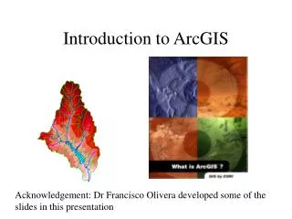
Intro to ArcGIS Lecture 9
Intro to ArcGIS 9.3 • Released in 2009 • Revision of version 9.2 • Produced by ESRI • ArcReader • Free download • View and Print digital maps
ArcView • Make maps • Query data • Analyze spatial relationships • Overlay layers • ArcEditor • ArcView plus • Additional data creation and editing tools • Versioning • ArcInfo • ArcEditor plus • Full set of spatial analysis tools
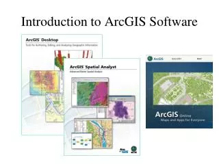
The software is designed to create computer models of data and has the tools to analyze them. • ArcGIS is divided into two major applications • ArcMap • ArcCatalog
Intro to ArcMap • ArcMap is the application for making maps and analyzing data. • Main Menu Toolbar • Standard Toolbar • Table of Contents • Tools Toolbar • Map View (Display) • Draw Toolbar • Status Toolbar • Context Menu
Intro to ArcCatalog • ArcCatalog is the data management application. • Main Menu Toolbar • Standard Toolbar • Geography Toolbar • Location Toolbar • Metadata Toolbar • Catalog Tree • Catalog Display