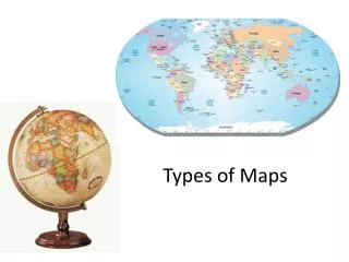
Types of Maps
Types of Maps. Mary Bisheh & Kristi Fleming Murchison Middle School Fall 2012. Two Main Types of Maps. Physical Political. Physical Maps. Physical maps – show the natural features or landforms of an area . Ex. mountains , deserts, rivers, seas, oceans, and plateaus.


Types of Maps
E N D
Presentation Transcript
Types of Maps Mary Bisheh & Kristi Fleming Murchison Middle School Fall 2012
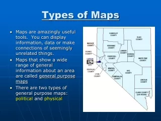
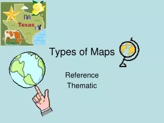
Two Main Types of Maps • Physical • Political
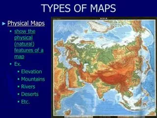
Physical Maps • Physical maps – show the natural features or landforms of an area. Ex. mountains, deserts, rivers, seas, oceans, and plateaus.
Political Maps • Political maps - show man-made features of the world. Ex. countries, cities, roads, airports, etc.
Natural Border Natural Border – a border created by physical features like a river or mountains.
Political Border Political Border – a man made border that does not necessarily have a natural separation.
Check for understanding Using your worksheet determine what kind of maps or borders are being shown. Types of Maps: Put either Ph (physical map) or Po(Political Map) based on what we’ve discussed
Borders Put either P for political border or N for natural border.
Border Rivers of Texas There are three Texas rivers that are special because the help up the SHAPE of Texas by forming part of our BORDER. Red River Sabine River These rivers are known as the BORDER RIVERS of Texas. Rio Grande
Mapping Texas • Today you will be mapping a political and physical map of Texas using the additional map handout • By the end of class you need to know: • Three border rivers • 4 bordering U.S. states • 4 bordering Mexican states • You will need your colored pencils as well