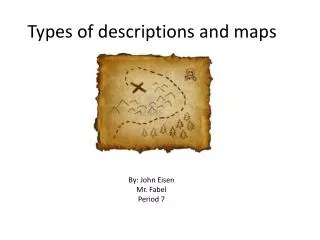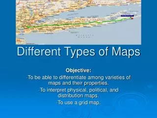
Types of Maps
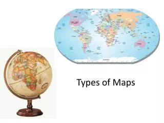
Types of Maps. Objectives. Define cartography and atlas Identify the main parts of a map Recognize that different types of maps serve different purposes. cartography. the study and practice of making maps.

Types of Maps
E N D
Presentation Transcript
Objectives • Define cartography and atlas • Identify the main parts of a map • Recognize that different types of maps serve different purposes
cartography the study and practice of making maps
The first map was the Babylonian map from 6th century BCE and was called the Imago Mundi map. It was carved on stone, and can tell us allot about how early humans saw the world.
A wooden map made by Marshall Islanders to show ocean currents in the Pacific Ocean.
Compass Rose Cardinal Directions • North • South • East • West
Scale • Tells what a certain distance on the map stand for on the surface of the Earth
Key or Legend Symbols used to represent real objects.
Grid • Usually latitude and longitude lines • Sometimes letters and numbers
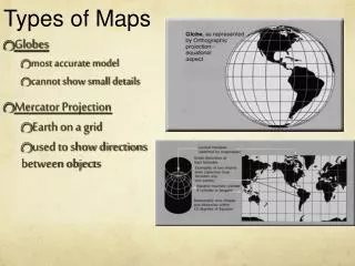
A map projection is a way to represent the curved surface of the Earth on the flat surface of a map.
atlas A collection of maps
Distortion Each projection has its own advantages and disadvantages, and all of them produce distortion in at least one of four categories: • the shapes of land and water areas • the relative sizes of land and water areas • distances between places • angles of direction between places
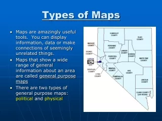
Political maps They show where the boundaries and locations of countries, states, cities, towns and counties are. These boundaries and locations are generally determined by people rather than nature.
Historical maps compare the changes in an area over time.
Topographic Maps Include contour lines to show the shape and elevation of an area.
Aerial maps Photo maps taken from up in the air.
Weather maps Show predictions of coming weather or report on weather that is actually happening.
Road maps Show where roads, highways, routes, etc. are. The more a user zooms in on a map the more detailed the map is as to local roads, routes, etc.
Climate Maps Give general information about the climate and precipitation (rain and snow) of a region.
Economic or Resource Maps Feature the major types of natural resources or economic activity in an area.
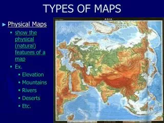
Physical Maps Illustrate the physical features of an area, such as the mountains, rivers and lakes.