Download
1 / 16
160 likes | 245 Vues
Discover the formation, importance, and threats posed by Greenland's massive ice sheet and the implications of its melting on global sea levels, climate, and ocean circulation. Learn about dynamic thinning processes and why it matters for coastal communities and ecosystems.

E N D
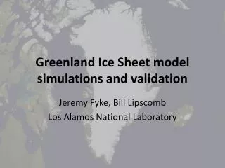
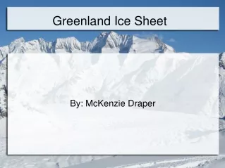
By: McKenzie Draper Greenland Ice Sheet
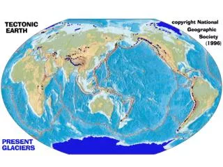
WHAT IS AN ICE SHEET? • An ice sheet is a mass of glacial land ice extending more than 20,000 square miles. http://coastalcare.org/2011/03/melting-ice-sheets-becoming-largest-contributor-to-sea-level-rise/
HOW DO ICE SHEETS FORM • Ice sheets form in areas where snow fall in the winter doesn't completely melt during the summer. Layers and layers build up and grow thicker and denser over thousands of years. • Ice sheets are constantly in motion. Moving under their own weight. • As long as the the sheet accumulates as much snow as it loses to the ocean it remains stable. http://www.globalchange.umich.edu/globalchange1/current/labs/Lab10_Vostok/Vostok_files/image029.jpg
WHY ARE ICE SHEETS IMPORTANT? • Ice sheets contains huge quantities of frozen water. • Influence weather and climate. http://www.aber.ac.uk/greenland/images/img1.jpg
GREENLAND'S ICE SHEET • Over 110,000 years old • Covers about 80% of Greenland • 660,000 square miles • Second largest ice sheet in the world • It is between 1.2-1.9 miles thick • Contains 10% of the worlds fresh water • The weight of the ice sheet is so great that it has pushed the center of Greenland 1000 feet below sea level.
https://student.societyforscience.org/sites/student.societyforscience.org/files/main/articles/canyon.jpghttps://student.societyforscience.org/sites/student.societyforscience.org/files/main/articles/canyon.jpg
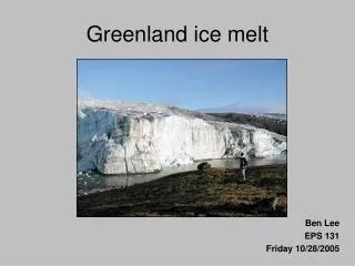
THE MELTING ICE SHEET • The Greenland Ice Sheet is located in the Arctic. The arctic climate is warming. • The sheet has experienced record melting. • The melting has increased by 16% from 1972-2002. Roger J. Braithwaite, The University of Manchester, UK. Image Source: NASA..
THE MELTING ICE SHEET • 'Fears have grown that continued climate change will make the Greenland Ice Sheet cross a threshold where long-term melting of the ice sheet is inevitable. Climate models project that local warming in Greenland will be 5 °F to 16 °F during this century.' • 'Ice sheet models project that such a warming would initiate the long-term melting of the ice sheet, leading to a complete melting of the ice sheet.' http://acefilms.tv/wp-content/uploads/2011/07/IMG_6885_IceSheet-1.jpg http://en.wikipedia.org/wiki/Greenland_ice_sheet
DYNAMIC THINNING • -'The ice sheet is losing volume from its edges. Glaciers appear to be losing ice at a much faster rate than predicted, and the sides of the ice sheet are losing mass much more quickly than it can accumulate in the interior. This loss is partially due to the increase in runoff from melting caused by warm-weather events, a process called dynamic thinning. Dynamic thinning does not affect all glaciers equally—glaciers lying on top of bedrock that smoothly slopes toward the sea are most strongly affected.' • -'Dynamic thinning is, in a way, a positive feedback loop. When it gets warm enough, the surface snow and ice begin to thaw. The melted water either pools or flows in rivers along the surface, or begins flowing under the snow that covers the ice of the sheet. In the process, it flows into small cracks, enlarging them as it moves towards the bottom of the ice sheet.' • -'The streams bring surface heat in the form of water down through the glacier to the bottom of the ice sheet. Once the water reaches the bottom of the glacier, it acts as lubrication for the glacier, which then gains speed as it flows downhill towards the sea. Thus, a little melting can have a large effect.' • http://www.wunderground.com/climate/greenland.asp
WHY DOES IT MATTER? • There are 4 Reasons • Sea Level • Ocean Circulation • Global Heat Transfer • Regional Atmospheric Circulation http://static.guim.co.uk/sys-images/Guardian/Pix/pictures/2012/11/29/1354188210095/Greenland-ice-sheet-melti-004.jpg
SEA LEVEL • As the ice sheet melts the sea levels are rising. • If the entire ice sheet were to melt it would raise sea levels by 23 feet. • This could be a global catastrophe, depending on how fast this occurs. • About a third of the World's population live on coastlines. http://i.dailymail.co.uk/i/pix/2013/08/12/article-2389991-1B423F6E000005DC-302_634x436.jpg
SEA LEVEL CONT. • If ocean levels were to rise 2-3 feet (very possible to happen in the next 20 years) serious global problems would arise. • Coastal Erosion • Loss of islands, sand bars and reefs • Increase Storm Surge • Ocean levels usually rise between 3 and 4 millimeters a year. https://encrypted-tbn2.gstatic.com/images?q=tbn:ANd9GcS9HEVMJ_vv0hbBpcVboj9ZS-_flw_j65KtVwYXgkm_mWWwg1aM
If the Gulf Stream depresses this could cause a change in the North Atlantic circulation patterns. These circulation patterns is what controls the weather patterns in Europe. Salinity: is the saltiness or dissolved salt content of a body of water OCEAN CIRCULATION • If the Greenland Ice Sheet were to melt at a faster rate it would change the circulation of the ocean. • As the freshwater would run off it would collect on top of heavier salt water in the North Atlantic. • This would change the salinity in the water which could depress the Gulf Stream. http://earthobservatory.nasa.gov/Features/Greenland/greenland_sidebar.php
GLOBAL HEAT TRANSFER • Loss of ice affects the Global Heat Transfer • Heat transfer is driven by temperature change. The larger the difference the faster the heat flows. • 'As the polar regions warm, the temperature difference between the equator and the poles is reduced, altering global atmospheric circulation patterns by reducing the force that drives equatorial heat energy toward the poles.' • ' Much of the world’s current pattern of rainfall would be altered.' http://earthobservatory.nasa.gov/Features/Greenland/greenland_sidebar.php http://images.nationalgeographic.com/wpf/media-live/photos/000/796/cache/thwaites2-yungel_79634_990x742.jpg
REGIONAL ATMOSPHERIC CIRCULATION • On average the top of Greenland (8,400 feet) is ice. • This physical mass of ice affects the regional atmospheric circulation patterns. • As the ice melts the patterns will change. http://www.landforms.eu/shetland/images/Ice%20budget.jpg
SOURCES • http://earthobservatory.nasa.gov/Features/Greenland/greenland_sidebar.php • http://ossfoundation.us/projects/environment/global-warming/greenland-ice-melt • http://www.wunderground.com/climate/greenland.asp • http://en.wikipedia.org/wiki/Greenland_ice_sheet • http://nsidc.org/cryosphere/quickfacts/icesheets.html • http://coastalcare.org/2011/03/melting-ice-sheets-becoming-largest-contributor-to-sea-level-rise/ • http://www.globalchange.umich.edu/globalchange1/current/labs/Lab10_Vostok/Vostok_files/image029.jpg • http://www.aber.ac.uk/greenland/images/img1.jpg • https://student.societyforscience.org/sites/student.societyforscience.org/files/main/articles/canyon.jpg • http://acefilms.tv/wp-content/uploads/2011/07/IMG_6885_IceSheet-1.jpg • http://static.guim.co.uk/sys-images/Guardian/Pix/pictures/2012/11/29/1354188210095/Greenland-ice-sheet-melti-004.jpg • http://i.dailymail.co.uk/i/pix/2013/08/12/article-2389991-1B423F6E000005DC-302_634x436.jpg • https://encrypted-tbn2.gstatic.com/images?q=tbn:ANd9GcS9HEVMJ_vv0hbBpcVboj9ZS-_flw_j65KtVwYXgkm_mWWwg1aM • http://images.nationalgeographic.com/wpf/media-live/photos/000/796/cache/thwaites2-yungel_79634_990x742.jpg • en.wikipedia.org/wiki/Salinity