
Understanding Map Projections in Geographic Information Systems (GIS)

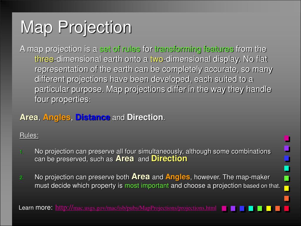
Map projections are essential for transforming the Earth's three-dimensional features onto a two-dimensional display. No projection can completely preserve all geographical properties—Area, Angles, Distance, and Direction—simultaneously. Different projections serve various purposes, allowing map-makers to choose the most relevant property to maintain. This guide delves into the types of projections such as the Universal Transverse Mercator (UTM) and Azimuthal Equidistant, as well as the importance of georeferencing in linking spatial data to the Earth's surface for effective GIS applications.
Télécharger la présentation 
Politique de téléchargement : le contenu du site vous est fourni TEL QUEL pour votre information et votre usage personnel ; il ne peut être vendu, concédé sous licence ni partagé sur d’autres sites sans l’accord de son auteur.Le contenu vous est fourni TEL QUEL, pour votre information et votre usage personnel uniquement. Téléchargez la présentation en cliquant sur ce lien. Lors du téléchargement, si vous ne parvenez pas à télécharger une présentation, l’éditeur a peut-être supprimé le fichier de son serveur.Pendant le téléchargement, si vous ne parvenez pas à obtenir une présentation, le fichier a peut-être été supprimé par l’éditeur.
F I N