Introduction to Global Positioning Systems (GPS)
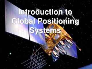
Introduction to Global Positioning Systems (GPS). Module 1. Created by: Scott Kelly 2010. A Global Positioning System (GPS) includes:. Satellites Receiver/Unit Ground Control Computers Human Element. Original image source: ESA. Very high orbit 12,550 miles (20,200 km)

Introduction to Global Positioning Systems (GPS)
E N D
Presentation Transcript
Introduction to Global Positioning Systems (GPS) Module 1 Created by: Scott Kelly 2010
A Global Positioning System (GPS) includes: Satellites Receiver/Unit Ground Control Computers Human Element
Very high orbit • 12,550 miles (20,200 km) • 1 revolution in about 12 hrs • Travel approx. 7,000mph • Considerations • Accuracy • Geometry • Coverage
The Omnipresent GPS Receiver Image Source: Cabalas Image Source: Trillium Wood Golf Club
Satellites Map Waypoints/Tracks Navigation Menu Image Source: GPSinformation.org
Image Source: USGS Image Source: Schriever Air Force Base
Image source: Golf-Monthly Image Source: fanpop.com
The Human Element Purpose Tool Direction Interaction User
How Global Positioning Systems Work 1. Datum & Projections 2. Data Collection 3. Unit to Computer
Geodetic Datum: What are they? • Define the size and shape of the earth • Used as basis for coordinate systems • Variety of models: • - Flat earth • - Spherical • - Ellipsoidal • WGS 84 defines geoid heights for the entire earth
Coordinate Systems • Based on Geodetic Datum • Describe locations in two or three dimensions (ie. X,Y,Z or X,Y) • Local and Global • Common systems • Geodetic Lat, Long (global) • UTM (local) • State Plane (local) • Variety of transformation methods
Satellite B Satellite C Satellite D Triangulation Satellite A
Unit to Computer Image Source: http://www.4x4books.com/mttngps.htm
Image Source: http://www.leica-geosystems.com/en/News-Archive_57049.htm?id=1319 Original Image Source: Wired.com
GPS/GIS Applying the field Image Source: http://202.28.94.55/web/322103/2551/work1/g178/home.html and others Image Source: blog.doc.govt.nz/2009/08/