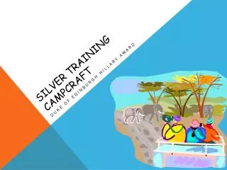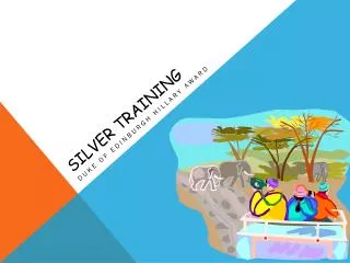
Silver Training Map Reading
Silver Training Map Reading. Duke of Edinburgh Hillary Award. Map reading.

Silver Training Map Reading
E N D
Presentation Transcript
Silver Training Map Reading Duke of Edinburgh Hillary Award
Map reading • There are many ways to locate your intended target, such as taking a direct bearing and going straight to the target. This works well if the target is in a straight line or is able to be seen from some distance away, such as on water. • When working in a wilderness setting, it is very rare that this system will work or that you will find your intended target first time. Often vegetation or mountainous landscapes obscure your view. • As a result, several tools have been developed to overcome these problems.
Map reading - • The lines you see on topographic maps join up points that are at the same height above sea level. If you walked along one of these lines, you would not go up or down any hills. • If you walk across lots of lines, you are travelling up or down hill. The closer together the lines are on the map, the steeper the hill.
Map Reading – Map Keys • Most maps use symbols to represent certain types of features – eg a little fir tree symbol to indicate a forest. • So that everyone can read the map, there must be a “key” which explains what each symbol means.
Map reading – Collecting Features • Collecting features on maps are used to guide you and direct you onto or towards an intended target. • Eg Look on the map for fences, creeks, or the base of a hill close to your target. Once you reach the collecting feature, walk along it to reach your target.
Map reading – Catching Features Oops – there’s the country club, I must have missed my target • Catching Features should be easily recognised as you approach your target • They may be beyond the target in case you miss or overshoot the target. • May include roads, fences, streams or man-made features
Map reading – Tick-off Features • Look at the map before you leave. Make a note of any obvious features you may see along the route • Eg “on the way I will pass a road, a fence and a stream” • As you come across these features, they should be ticked off
Map reading – Aiming Off • This method works by deliberately aiming to either side of the target. • Eg If the target is located along a fence line, “by aiming slightly to the right of my target, I can then follow the fence and use it as a handrail” • This works well if the target is • quite small and easily missed by • direct bearing
Map reading – Handrails • Fences, roads, walls, or a row of trees can lead you to your target. • This can be used as part of the “Aiming off” method
Map reading – Attack Points • An attack point is a precise feature close to your target which can be used to take a second bearing and accurate distance • Aim for an easily seen and recognised feature close to your target, and then get your bearings again for your actual target. This is very similar to “aiming off”. • This can be very useful if your target is obscured or very small
Map reading – Just a Note • “Collecting features” often become “hand rails” once they “catch” you after “aiming off” • “Catching features” can also be used for “aiming off” or as “handrails” • So most these features can be used in a variety of ways Map-reading Assignment: Draw a map