
The Geography and Resources of Africa: From Plateaus to Diverse Ecosystems
E N D
Presentation Transcript
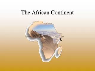
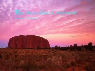
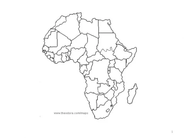
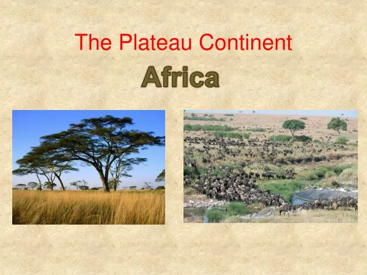
Africa The Plateau Continent
Landforms and Resources • Shape and landforms are result of location in Pangea. • Other continents moved a great amount while present day Africa moved very little
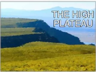
Vast Plateau Nile Med • Majority of land lies on a plateau that stretches across the continent. • The majority of land is 1000 ft. above sea level • Basins: depressions in the ground • Nile River: world’s longest river, 4,000 mi. long, flows N to Egypt
Distinctive African Landforms • Rift Valleys: continental plates pull apart, form huge cracks, land sinks • Stretch 4,000 mi. • Lakes form at the bottom • Mount Kenya and Mount Kilimanjaro (Africa’s Highest Mount.) are both volcanoes • Escarpment: steep slope with a flat plateau
Resources • Minerals • Gold, platinum, chromium, cobalt, copper & diamonds • Because of colonialism, Africa hasn’t developed the infrastructure needed to make a profit Diamond Miners
Oil • Libya, Angola, Nigeria and Algeria are leading producers • American oil companies pay fee to Angola which turns and uses money to fund ongoing civil war.
Diversity of Resources • Coffee • Most profitable after oil • Lumber • Agriculture • Single most important econ. activity • 60% of Africans earn their living in farming
Climate and Vegetation • Warm Continent • Sahara: largest desert in world. –Temp. H: 136.4° (day), below freezing at night • Aquifers: underground stores of H²O. Known as an oasiswhen they reach surface • Tropical weather all year long • 90% of land lies between tropic of Cancer and tropic of Capricorn Sahara
Sunshine and Rainfall • Rain forest receives most rain (on or near Equator) • W coast receives a great deal • Moderate area (N & S tips) only receives rain in winter
Grassy Continent • Tropical Grasslands cover most of Africa • Serengeti Plain: grassland in N. Tanzania • Perfect for animals to graze
Rain Forest • Sits along Equator area of Congo basin • Wide variety of plant & animals • Most live in the canopy (near the tops of the trees) • Farmers using slash and burn have cut down ½ already, now endangered
Human Environment Interaction • Nigeria • Sixth leading oil producer, most shipped to U.S. • Oil spills (4,000 in 40 yrs) • Oil pipeline explosions, sabotage by rebels • Fires lead to acid rain
Desertification of Sahel • Sahel:shore of the desert • Desertification: expansion of dry conditions into moist areas that are near desert • Normal, natural process that is sped up because of grazing • Causes include: overgrazing, farming, pop. increase
Controlling the Nile • 1st Aswan Dam completed in 1902 • Aswan High Dam • 4 miles up river form 1st Dam • Creates Lake Nasser (artificial), Egypt shares with Sudan • Increased farmable land by 50% • Natural renewal of silt(sediment), which occurs during floods, gone • Expensive fertilizers now used • Mosquitoes increased