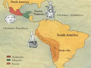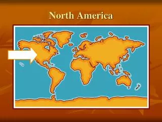
North America
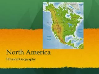
North America. Physical Geography. Landforms. Coastal Plains. Gulf-Atlantic Coastal Plain: runs along the Atlantic Ocean and the Gulf of Mexico Atlantic: begins in northeastern United States and extends southward into Florida

North America
E N D
Presentation Transcript
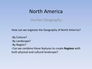
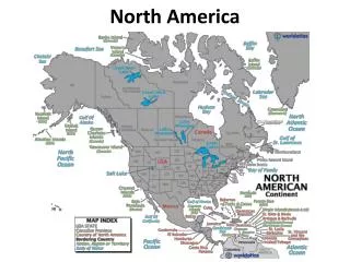
North America Physical Geography
Coastal Plains • Gulf-Atlantic Coastal Plain: runs along the Atlantic Ocean and the Gulf of Mexico • Atlantic: begins in northeastern United States and extends southward into Florida • Gulf of Mexico: extends along the Gulf of Mexico from Florida into Texas • Flat • 2,200 miles • Mostly wet region • Includes rivers, swamps, marshes, deltas, and bayous
Appalachian Mountains • On East coast • One of two major mountain chains in the U.S. and Canada • Runs North to South • 1,600 miles from Canada to Alabama • More than 400 million years old
Great Lakes • Located on border between U.S. and Canada • HOMES: Huron, Ontario, Michigan, Erie, and Superior. • One of the world’s major shipping routes
Mississippi River • Runs North to South from Minnesota to the Gulf of Mexico. • Branches off into major rivers: Ohio River and Missouri River • Largest river system in the U.S. • About 2,320 miles long
Great Plains • Large, treeless, flat area • West of the Mississippi River and East of the Rocky Mountains
Rocky Mountains • West of the Great Plains • Other major mountain system in the U.S. and Canada • Extends 3,000 miles from Alaska south to New Mexico • About 80 million years old • Peaks can be more than 12,000 feet high
Continental Divide • The line of highest points in the Rockies that marks the separation between rivers flowing eastward and westward. • There are 4 in North America
Colorado River • Southwestern United States • Carved the Grand Canyon • 1,450 miles long
Grand Canyon • Located in Arizona • Carved by Colorado River • 227 miles long • In some areas, 18 miles wide • 6,000 feet deep • Major tourist attraction
Shared Climates • Regions: Sub Arctic, Marine West Coast, and Highland • Why is Canada’s climate colder than the United States’?
Different Climates • Tundra – arctic coast of Alaska and Canada • Winters are long and cold • Summers are short and chilly • Treeless plain • Permafrost – permanently frozen ground • Mountains and Highlands • Climate is colder • Rocky Mts. are in this area • Area west of mountains are moist because they trap moisture from Pacific Ocean • Vegetation- forest
Different Climates Cont’d • Canada/U.S. Border • Cold winters and warm summers • Vegetation – forests and grasslands • Good for farming and ranching • Heavy Canadian population • Southern United States • Summers – hot and humid • Winters – mild and cool • Moist air from Gulf of Mexico causes rain • Rain is great for growing crops!
Different Climates Cont’d • Desert region • Vegetation – short grass, cactus • States with desert climate: New Mexico, Arizona, California, and Nevada • Mojave Desert located here • Tropical Region • Wet climate with lush rainforests • Usually warm with wet/dry seasons • Vegetation – tall grasses and scattered trees • States with tropical climate: Florida and Hawaii