

SlideServe
Menu
Préférences
© SlideServe · v2026

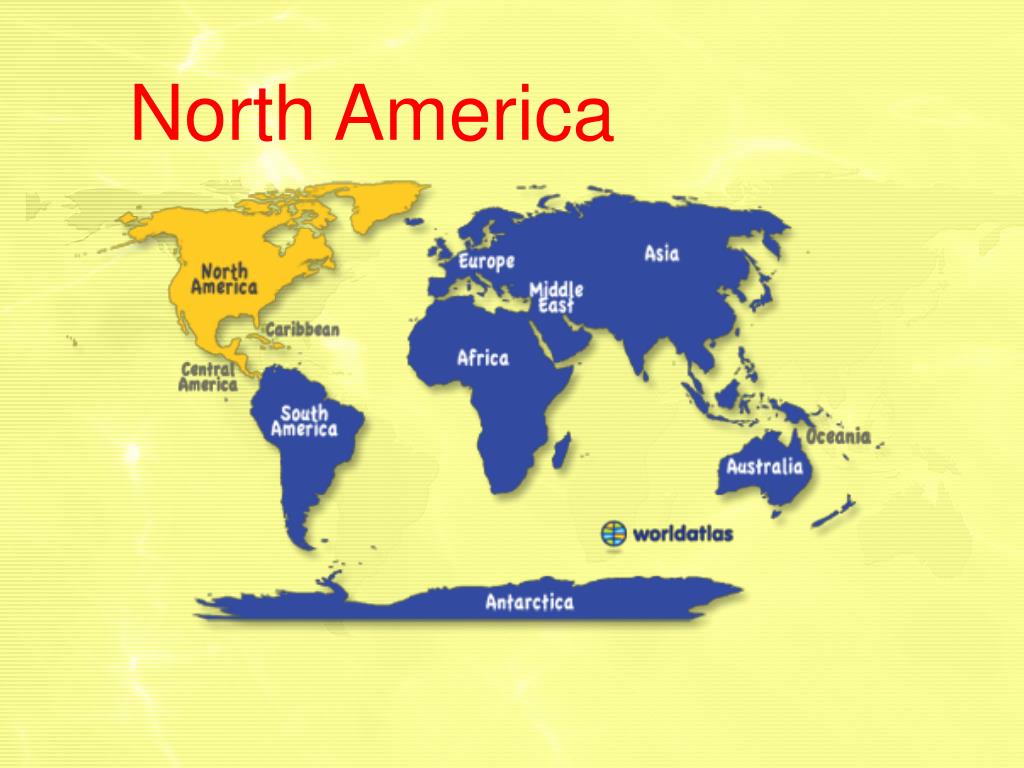
North America

asha avatar
10 diapositives · 301 Views · Jul 29, 2014

North America. Canadian Shield . http://www.youtube.com/watch?v=3CwD7Uo_4vs. The wide area of Precambrian rock extending west from the Labrador coast to the basin of the Mackenzie and north from the Great Lakes to Hudson Bay and the Arctic: rich in minerals. Canadian Shield .
North America - slide 1
01 / 10North America
1 / 17

Télécharger la présentation

North America
Une image / un lien ci-dessous est fourni (tel quel) pour télécharger la présentation

Politique de téléchargement : le contenu du site vous est fourni TEL QUEL pour votre information et votre usage personnel ; il ne peut être vendu, concédé sous licence ni partagé sur d’autres sites sans l’accord de son auteur.Le contenu vous est fourni TEL QUEL, pour votre information et votre usage personnel uniquement. Téléchargez la présentation en cliquant sur ce lien. Lors du téléchargement, si vous ne parvenez pas à télécharger une présentation, l’éditeur a peut-être supprimé le fichier de son serveur.Pendant le téléchargement, si vous ne parvenez pas à obtenir une présentation, le fichier a peut-être été supprimé par l’éditeur.

F I N

Plus de contenu associé

Transcription de la présentation
  1. North America

  2. Canadian Shield http://www.youtube.com/watch?v=3CwD7Uo_4vs The wide area of Precambrian rock extending west from the Labrador coast to the basin of the Mackenzie and north from the Great Lakes to Hudson Bay and the Arctic: rich in minerals.

  3. Canadian Shield Laurentian Highlands also Canadian Shield. A plateau region of eastern Canada extending from the Great Lakes and the St. Lawrence River northward to the Arctic Ocean. titanium, uranium, copper, iron, nickel, gold, zinc, silver, platinum and diamonds The further north Estephany Garcia went, the rockier the ground became.

  4. Continental Divide a massive area of high ground in the interior of a continent, from either side of which a continent's river systems flow in different directions

  5. Continental Divide The dividing line of a continent. You know water on that side flows that way and on this side it flows this way. LaneeTriese could not decide if she should go east or west.

  6. A territory governed as an administrative or political unit of a country or empire. Provinces We call them states. Silly Canadians!

  7. from medieval Latin Pedemontium or Pedemontis, i. e. "ad pedemmontium" Piedmont An area of land formed or lying at the foot of a mountain or mountain range O wait! It was supposed to be easier…meaning "at the foot of the mountains"

  8. Great Basin is a large, arid region of the western United States, commonly defined as the contiguous watershed region, roughly between the Rocky Mountains and the Sierra Nevada, that has no natural outlet to the sea. A desert region of the western United States

  9. Columbian Exchange the enormous widespread exchange of agricultural goods and communicable diseases between the Eastern and Western Hemispheres that occurred after 1492. The Americas gave Europe new foods, Europeans gave us diseases.

  10. Columbian Exchange