

SlideServe
Menu
Préférences
© SlideServe · v2026

North America

ruby avatar
7 diapositives · 252 Views · Aug 10, 2014

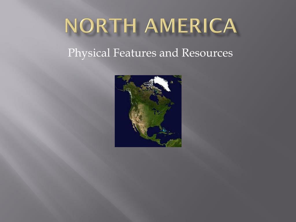
North America. Physical Features and Resources. North America’s Landforms. Mountains in the east and west surround a great lowland area in the interior. The granite Canadian Shield covers nearly ½ of Canada. Landforms. In the East: Atlantic Coastal Plain, Piedmont, Appalachian Mountains.
North America - slide 1
01 / 7North America
1 / 17

Télécharger la présentation

North America
Une image / un lien ci-dessous est fourni (tel quel) pour télécharger la présentation

Politique de téléchargement : le contenu du site vous est fourni TEL QUEL pour votre information et votre usage personnel ; il ne peut être vendu, concédé sous licence ni partagé sur d’autres sites sans l’accord de son auteur.Le contenu vous est fourni TEL QUEL, pour votre information et votre usage personnel uniquement. Téléchargez la présentation en cliquant sur ce lien. Lors du téléchargement, si vous ne parvenez pas à télécharger une présentation, l’éditeur a peut-être supprimé le fichier de son serveur.Pendant le téléchargement, si vous ne parvenez pas à obtenir une présentation, le fichier a peut-être été supprimé par l’éditeur.

F I N

Plus de contenu associé

Transcription de la présentation
  1. North America Physical Features and Resources

  2. North America’s Landforms • Mountains in the east and west surround a great lowland area in the interior. • The granite Canadian Shield covers nearly ½ of Canada.

  3. Landforms In the East: Atlantic Coastal Plain, Piedmont, Appalachian Mountains. The Interior: Interior Plains, Great Plains, The Gulf Coastal Plain, The Canadian Shield The Mississippi River drains much of the interior of the USA. The West: The Rocky Mountains, the Great Basin, the Sierra Nevada and Cascade Ranges.

  4. The Fall Line The inland area at the start of the Piedmont Plateau. These areas (on rivers) were the farthest inland that ships could travel. Many American cities developed here.

  5. Settlement Patterns In both countries settlement started on the East Coast. Then the Interior (Ohio River valley and along the Great Lakes) were settled. Eerie Canal in New York North from New Orleans along the Mississippi. The plains areas were considered undesirable – “The Great American Desert” = The Great Plains West Coast was settled next. CA gold rush and Oregon Trail Then, with farming improvements, the plains were settled and used for farming.

  6. Bodies of Water Major Rivers: Used for exploration, travel, trade, irrigation. -Include Mississippi, Missouri, Ohio, St. Lawrence Many western rivers originate in the Rockies: Colorado, Columbia, Yukon Many Lakes found in North America

  7. Climate and Biomes