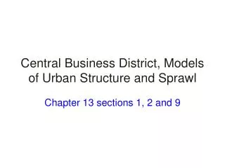
Models of Urban Structure
190 likes | 513 Vues
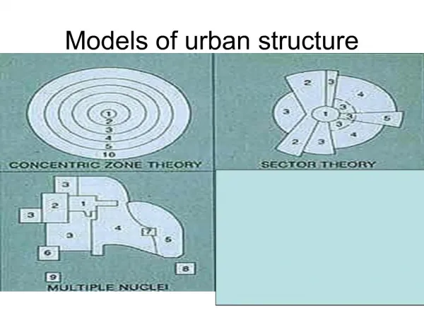
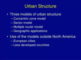
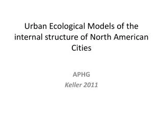
Models of Urban Structure. Concentric Zone Model. Ernest Burgess, 1920’s City of Chicago. Concentric Zone Model. Zone A: CBD is here Transportation infrastructure converges Most tertiary employment. Zone B: Industrial activities Adjacent to CBD, labor and markets

Models of Urban Structure
E N D
Presentation Transcript
Concentric Zone Model • Ernest Burgess, 1920’s • City of Chicago
Concentric Zone Model Zone A: • CBD is here • Transportation infrastructure converges • Most tertiary employment Zone B: • Industrial activities • Adjacent to CBD, labor and markets • Port sites and rail yards
Concentric Zone Model Zone C: • Low income housing • Constantly being converted to other uses due to expanding manufacturing and industrial activities • First generation immigrants Zone D: • residential zone dominated by working class • Second generation immigrants • Near employment
Concentric Zone Model Zone E: • Higher quality housing • Longer commuter costs Zone F: • outside zone E • High class expensive housing • Rural, suburban setting
Concentric Zone Model: Considerations • Considered a product of its time, circa 1950 • Developed for American cities and not easily applied elsewhere • Developed when people used public transit and can’t be applied to the highway cities of today
6 Sector Model • Homer Hoyt, 1939 • City of Chicago • Transport had a direct impact on land uses • Cities grow along an axis, thus the sector model
6 Sector Model Zone 1: • CBD • Land is expensive • Little space, competition is high, congestion is high Zone 2: • Zone of Transition • Old industries located here • State of constant change due to growth of Zone 1
6 Sector Model Zone 3: • Zone of Transition • A.k.a old inner city areas • Low class residential housing Zone 4: • Council Estates • Semi-detached housing • Garden areas • Medium-class residential
Sector Model Zone 5: • Commuter Zone • Private, high class, top quality housing • Much commuting into CBD Zone 6: • Countryside areas • Pleasant, rural surroundings • Satellite villages and towns
6 Sector Model: Considerations
Multi-Nuclei Theory • Harris and Ullman • Separate nucli or CBD’s in the urban pattern, not just one • Centrifugal forces determine land use, ie residential repels industrial • High rent vs low rent
Multi-Nuclei Theory • Zone 1 • CBD • Zone 2 • Zone of Transition • Zone 3 • Residential Low Class • Zone 4 • Residential Middle Class
Multi-Nuclei Theory • Zone 5 • Residential Upper Class • Zone 6 • Industry and Heavy Manufacturing • Zone 7 • Mini CBD • Zone 8 • Residential Suburb
Multi-Nuclei Theory • Zone 9 • Industrial Suburb
Multi-Nuclei Theory: Considerations http://www.epa.gov/urban/msp/zoomed.htm