Download
1 / 11
110 likes | 282 Vues
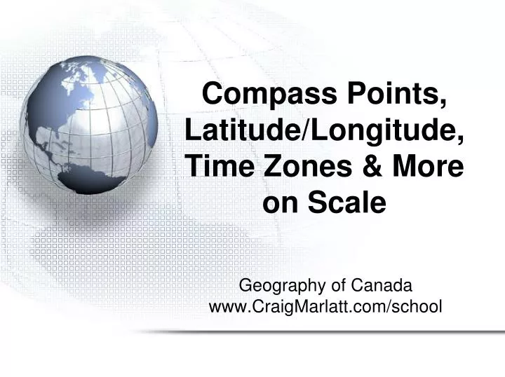
Compass Points, Latitude/Longitude, Time Zones & More on Scale. Geography of Canada www.CraigMarlatt.com/school. Points on a Compass. A compass is a way of finding direction The four cardinal points are N, E, S, W

E N D
Compass Points, Latitude/Longitude, Time Zones & More on Scale Geography of Canada www.CraigMarlatt.com/school
Points on a Compass • A compass is a way of finding direction • The four cardinal points are N, E, S, W • The twelve ordinal points are NE, SE, SW, NW, NNE, ENE, ESE, SSE, SSW, WSW, WNW, NNW • The points all have corresponding degrees of a circle (0° → 360°)
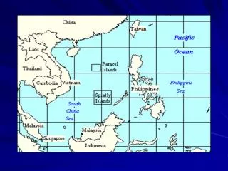
Lines on the Earth • Latitude • imaginary lines that measure the distance north or south of the Equator (0°) • lines are parallel to the Equator at regular intervals (approximately 111 kilometres apart) • There are 90 parallels in the North and 90 in the South
Lines on the Earth • Longitude • imaginary lines that measure the distance east or west of the Prime Meridian (0°) • all lines begin and end at the poles and therefore are not at a fixed distance apart • the Prime Meridian (0°) was arbitrarily chosen at a point that runs through Greenwich, England • the International Date Line (180°) is the point where one day begins and one day ends
Lines of Latitude and Longitude Lines of Latitude Lines fo Longitude
Lines on the Earth • The Prime Meridian
Lines on the Earth There are 6 time zones in Canada • Time Zones
Scale • Scale shows the relationship between the distance on a map and the actual distance on the Earth’s surface • Direct Statement Scale uses words to describe what a distance on a map represents in the real world • 1 cm = 10 kilometres • Linear Scale uses a special ruler on a map to show what a distance on a map represents in the real world • 0 km 400 km • Representative Fraction Scale is a ratio where one unit on a map represents a specific number of the same unit in the real world • 1:50 000 (1 cm on the map represents 50 000 cm in the real world)
Map Scale Examples of how a scale ruler looks on a map.