Download
1 / 18
530 likes | 1.96k Vues
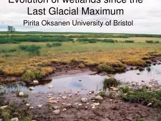
The Last Glacial Maximum (LGM). Modified from: Royal Geographic Society: Glacial Landscapes Lesson 1. What is the LGM?. Latest phase in Earth’s geologic history (26,000-18,000 years ago) when the planet’s: Average temperature reached a minimum

E N D
The Last Glacial Maximum (LGM) Modified from: Royal Geographic Society: Glacial Landscapes Lesson 1
What is the LGM? • Latest phase in Earth’s geologic history (26,000-18,000 years ago) when the planet’s: • Averagetemperature reached a minimum • Area of land covered by glaciers and ice sheets reached a maximum • ~3x more than currently present • Sea-level was about 120 meters lower than present
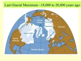
Global Glacial Coverage During the LGM Image Source: http://www.humberriver.ca/globalice.html
Glacial Coverage of North America During the LGM Image Source: Idaho Museum of Natural History
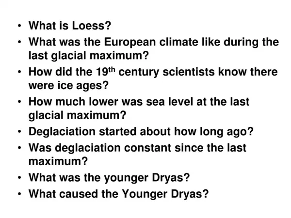
Glacial Coverage of Europe During the LGM Image Source: www.kids.britannica.com
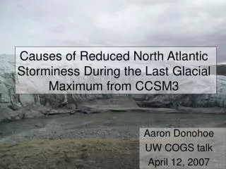
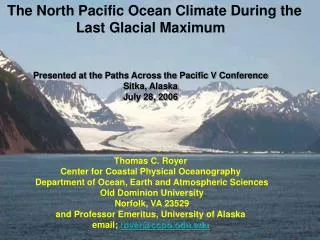
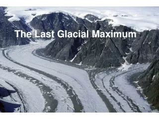
D.E.Anderson • The edge of an ice cap in modern day Iceland • This may be similar to what landmasses in the Northern Hemisphere looked like during the LGM
Extinct Animals & Ice Age Terrain Image source: Wiki Commons
Glacial Cycles within the Quaternary • Earth’s climate has oscillated between cold glacial times and warm interglacial periods • The LGM was the coldest part of the most recent ‘glacial’ period • We are currently warming up from the LGM and entering an interglacial period
Retreat of North American Glaciers as the LGM Ended Animation Source: http://www.museum.state.il.us/exhibits/ice_ages/
These are two ice core based temp. reconstructions from Antarctica Average global temp. change from today Our present warm time, the Holocene Image Source: Robert A. Rohde / Global Warming Art The LGM
Differences in Ice Sheet/Sea Ice Extent Between LGM and Today LGM LGM Mark McCaffrey , NGDC/NOAA Source: http://www.ncdc.noaa.gov/paleo/slides/slideset/11/11_178_slide.html
Global Glacial Coverage LGM Present About 10% of land was covered by glaciers (~15 x 106 km2) Distribution of world’s glacial ice: Antarctica: 85% Greenland: 11% Remainder of globe: 4% • About 30% of land was covered by glaciers (>40 x 106 km2) • Distribution of world’s glacial ice: • Antarctica: 30% • Greenland: 5% • Laurentide Ice Sheet (northeastern - North America): ~30% • Scandinavian Ice Sheet (northern Europe): ~15% • Remainder of globe: ~20%
Average Global Temperatures Present LGM Average: 14.6°C Still colder at high latitudes Warmer nearer to the Equator Temperatures have risen 0.5°C since 1960s • About 6°C colder • Much colder at high latitudes • Slightly less nearer to the Equator
Sea Level Change During the LGM • Dropped to about 120 meters below present level • More of the world’s H20 was transferred from the oceans to glacier ice
Eastern U.S. Coastline During the LGM Image Source: PBS - NOVA: Mountain of Ice
Florida & Eastern Gulf of Mexico Coastline During the LGM Image Source: PBS - NOVA: Mountain of Ice
Northern European Coastline During the LGM Image Source: PBS - NOVA: Mountain of Ice
Southeast Asian Coastline During the LGM Image Source: PBS - NOVA: Mountain of Ice