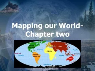
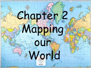
Chapter 2 Mapping our World
Chapter 2 Mapping our World. Latitude and Longitude. Imagine trying to explain to someone where this dot is located on this ping pong ball . It is equally difficult to describe specific locations on Earth.

Chapter 2 Mapping our World
E N D
Presentation Transcript
Chapter 2 Mapping our World
Latitude and Longitude • Imagine trying to explain to someone where this dot is located on this ping pong ball. • It is equally difficult to describe specific locations on Earth. • To make it easier, we have a grid system made up of lines that help locate specific points.
Latitude • Latitude lines lie parallel with the earth’s equator. • The equator’s latitude is 0 degrees. • The north pole is 90 degrees NORTH. • The south pole is 90 degrees SOUTH.
Latitude is the angle a line draw to your location from the center of the earth would make with the equator. • Latitude measurements are always followed with either an N for NORTH or an S for SOUTH • What do you think the latitude of our school is? • http://www.juggling.org/bin/un.cgi/map-find
Longitude • Longitude lines are long and run up and down like telephone poles • The reference line for Longitude is the PRIME MERIDIAN (0o longitude) • Longitude lines are NOT parallel to the Prime Meridian or each other- they all touch at the poles!
The longitude of the Prime Meridian is 0 degrees • The International Date Line is 180 degrees and on the opposite side of the globe
All other lines of Longitude are followed by either an E for East of the Prime Meridian or a W for West of the Prime Meridian • Where are we? • What is our LONGITUDE? • http://www.juggling.org/bin/un.cgi/map-find
Comparing Latitude and Longitude • How are they different?Make a chart! (2-column) • Latitude lines run horizontally, Longitude run vertically • Latitude lines vary from 0-90, Longitude vary from 0-180 degrees • Latitude lines are PARALLEL, Longitude lines all TOUCH at the poles • Latitude measurements are followed by N or S, Longitude by W or E • All Longitude lines lie along “GREAT CIRCLES” - meaning they divide Earth into two perfect halves • Only one Latitude line is a Great Circle: • THE EQUATOR!
The size of one degree of Latitude is constant (111 kilometers) no matter where you are • A degree of Longitude varies in size (longitude covers a bigger distance near the equator and a smaller distance near the poles!!)
MINUTES AND SECONDS • Each degree of latitude and longitude is divided into 60 “minutes” (60 minutes = 1 degree). The symbol for a minute is: ‘ • Remember: this type of minute measures DISTANCE, not time!! • Each minute is divided into 60 “seconds” (60 seconds = 1 minute). The symbol for a second is: “ • An example of a position on Earth might be: • 43o 22’ 56” S, 28o 4’ 12” E • http://www.factmonster.com/ipka/A0001769.html
And FINALLY… TIME ZONES! • Where have you been? What time was it? • How many different times are there on planet Earth right now?? • The world is divided into 24 time zones • Your LONGITUDE determines your time zone!
How many degrees of longitude does each time zone cover?? • 360 degrees / 24 zones = 15 degrees • Traveling WEST -- you wind the clock BACK as you cross time zone boundaries • Traveling EAST -- you wind the clock FORWARD as you cross time zone boundaries • This is because our globe is spinning towards the EAST • The sun seems to rise in the East as we spin towards it, and the sun sets in the West as we spin away