Standing Water – lakes and ponds
210 likes | 394 Vues
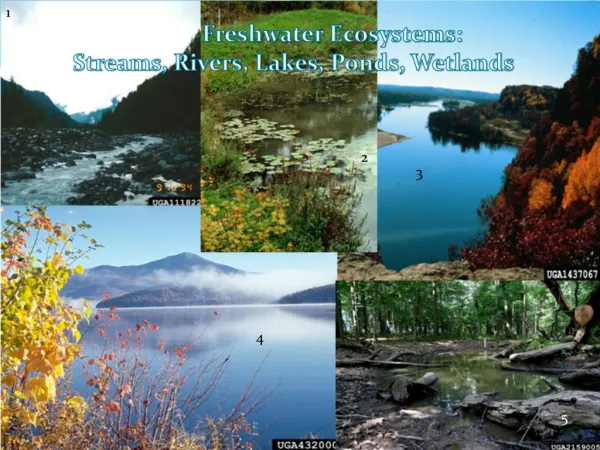
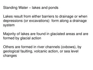
Standing Water – lakes and ponds Lakes result from either barriers to drainage or when depressions (or excavations) form along a drainage system Majority of lakes are found in glaciated areas and are formed by glacial action

Standing Water – lakes and ponds
E N D
Presentation Transcript
Standing Water – lakes and ponds Lakes result from either barriers to drainage or when depressions (or excavations) form along a drainage system Majority of lakes are found in glaciated areas and are formed by glacial action Others are formed in river channels (oxbows), by geological faulting, volcanic action, or sea level changes
Beavers form ponds by blocking drainage and then excavating the basins and seal the dam with the mud they dig up—lakes and man-made reservoirs are formed in much the same way—excavation and impoundment.
Glacial lakes The vast majority of lakes in the world occur in glaciated areas—74%
Glaciers can form lakes in the following ways: Ice can impound the flow in a drainage system The flow can be blocked by glacial till or moraines Ice flow can scour or deepen a basin Ice blocks in till can melt out to form a “kettle” or “pothole” which then fills up with seepage or surface flow
Moraine dams tributary stream Moraine Mountain glacier
Moraine Glacier recedes • After the mountain glacier recedes a large lake can fill the scoured out valley. • The moraine damming the lake outflow maintains the level Glacier recedes
A Proglacial lake • A river is blocked by ice, usually from a large continental glacier • the water flowing toward the glacier forms a large lake at the glacier margin
Proglacial lakes • Following the retreat of the last • glaciation most of the Canadian landscape • was covered by proglacial lakes • Species tolerant of coldwater (salmonid • and coregonids) became very widespread. • Opportunities for dispersal of • cool and warmwater species were much more limited • because these water bodies disappeared with the ice.
Proglacial lakes in southwestern Alberta and Montana (around 12,000 Bp) western extent of the continental glacier Probable Waterton glacial lake at the height of the Wisconsin glaciation >12,000 yr bp. Present Waterton lakes This lake would have been fed by the all of the tributaries of the Oldman system This lake probably served as a major refugium from which fish and invertebrates colonized the SSRB, after the ice age. Genetic studies indicate that many lake trout populations across western Canada came from this glacial refugium Eastern extent of the cordilleran glaciers
Waterton Lakes have a similar origin—Both Waterton and Memphremagog have contain glacial relict animal species in their deep waters.
Freshwater mysid shrimp are important glacial relicts and have a restricted range because of this. They have been introduced to many lakes because fisheries managers thought that this would improve fisheries yields This has largely backfired because Mysis tends to compete with epilimnetic zooplanktivorous fish, and because of their vertical migrations are difficult for these fish to consume. Most of the mysids for the introductions to other western lakes came from Upper Waterton Lake
Cirque lakes in the rockies • Glaciers in headwater valleys tend to scour out a bowl shaped basin and the excavated material forms a moraine at the lake outflow that maintains the lake level after the glacier has receded. • Drainage in Moraine lake was further impeded by a large landslide across the outflow • Most cirque lakes are fishless unless stocked
Pothole or kettle lake formed in glacial --usually small < 30 ha, but can be quite deep--10-40 m. Watersheds are very small. • Large blocks of ice left behind in moraines and till mounds as glaciers melt and grow “stagnant”. • As they gradually melt, they leave behind a depression in the till that fills by seepage • Many of the small pothole lakes in Alberta are kettle lakes.
Kettle Lake formation • A Block of ice from a retreating glacier buried in glacial till • As the ice melts over hundreds of years, a depression is left behind in the till • If the water table is high enough the depression will fill with water forming a kettle lake or bog • Such basins are very common on glaciated landscapes
Another type of basin associated with ice melting. Polygonal ponds near the Lena River, Russia Polygon ponds form along the Arctic coastal lowlands. Form in the summer as wedges of ice melt within the permafrost to form small polygonal basins (around 50 m across) that fill up with surface water. See Fig. 6.2 in your text
Most of the large and old lakes in the world are Tectonic lakes Many occupy ancient basins called grabens—formed by large geological faults Rocks before faulting Lake in a symmetrical graben Lake in a tilted graben
Lake Baikal—one of the most famous tectonic lakes in the world, has existed for over 20 million years