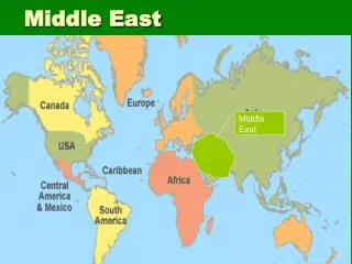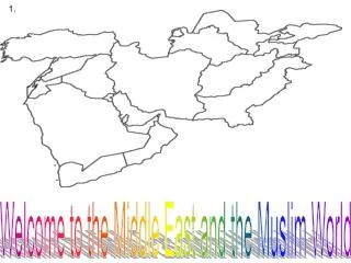
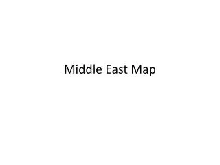
Comprehensive Mapping of the Middle East: Adding Key Geographic Features
This project involves enhancing the Middle East map by adding significant geographic features such as Cyprus under 'Countries', and regions like the Sinai Peninsula, Gaza Strip, and Empty Quarter. Additionally, key bodies of water including the Suez Canal, Euphrates River, Tigris River, and Gulf of Aden will be labeled. Using a political coloring approach, each country will be uniquely colored, with specific labeling conventions for countries, water bodies, capital cities, landforms, and regions. Remember to include the TODAY elements: title, orientation, date, author, and legend.

Comprehensive Mapping of the Middle East: Adding Key Geographic Features
E N D
Presentation Transcript
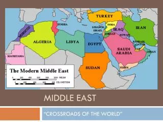
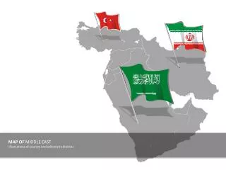
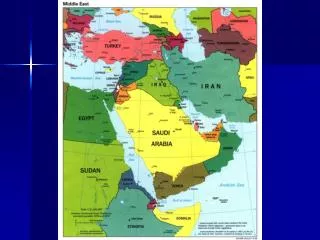
Additions: • Under “Countries”, add • Cyprus • Under “Regions”, add • Sinai Peninsula • Gaza Strip • Empty Quarter
More additions: • Under “Bodies of Water”, add • Suez Canal • Euphrates River • Tigris River • Gulf of Aden Do NOT abbreviate Landforms—cross them off
Mapping • Today you will start labeling with PENCIL ONLY • Start from the SMALLEST things and work towards the LARGEST • Use the Atlas. There are not great maps in the atlas for this area. You will need to use a number of maps.
Map Labeling • Countries will be in ALL CAPITALS, and labeled in black. • Water labeled in blue. • Capital cities labeled in red. • Landforms labeled in purple. • Regions labeled in green.
Map Coloring • This is a political map for the most part and we will color it that way. • Color each country a different color (but NO blue) than the countries around it. • Color all water blue.
TODAL • Do not forget TODAL—title, orientation, date, author and legend. • On your legend, I should see mountain and desert symbols, and an explanation of your use of labeling colors.